


As it has not been posted before: Renegade indeed relased a reprint of Anniversary Edition celebrating the 40th Anniversary of A&A itself:
https://renegadegamestudios.com/axis-allies-anniversary-edition/
@bigwatcher Looks very intriguing, does it balance out between the two sides and are All the territories still the same as OOB?
@nolimit said in AA50 on Steroids!:
@bigwatcher Looks very intriguing, does it balance out between the two sides and are All the territories still the same as OOB?
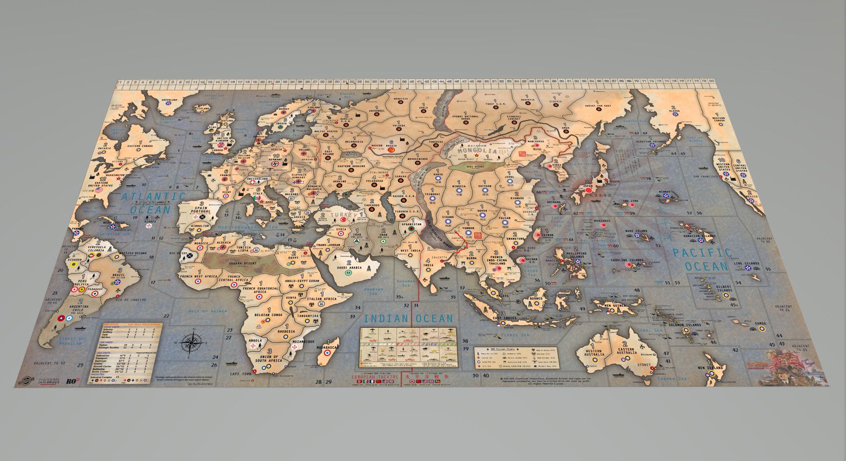
So far just tried 1 game and it seems quite balance, need a couple of games to confirm. Nope not OOB…i split some territories and added in a couple of seazones. Will be playing BBR so there’s Trans-siberia railway, oilfields, resources etc. I included the option of playing oil rules just in case. Instead of Juneau as one of the VCs, i changed it to Cape Town so hopefully there will be more actions in Africa.
@bigwatcher I was really hoping you wouldn’t have added extra territories+seazones, a lot of others done the same thing with their Own House rule maps that other players just can’t play those house rules with their Own OOB map with them added changes- I suggest keep the map simply the same with your other house rules so that others could readily play them on their OOB map without going thru the Hassle of spending money or extra time printing the New changes- that’s what stops me from trying out other player’s house rules…☹️
@nolimit I see your concerns here… guess im just in a better position cos i got the Global40 game… just need the AA50 map to play with the existing game pieces. But after i bought the OOB map from Siredblood and played on it, I think there’s needs to add some “improvements” to the map hence decided to mod it…especially if i wanna implement BBR into the gameplay. :face_with_rolling_eyes:
Hey @Bigwatcher, looks awesome! Where can I get the map files?
As an AA50 player, love this. I would also like a down link if available.
@userx said in AA50 on Steroids!:
As an AA50 player, love this. I would also like a down link if available.
As long as you own the BBR Anniversary map and show me proof. I will send you the edited map. 👍
You can email [email protected] if you wanna buy the map from him. Cheers
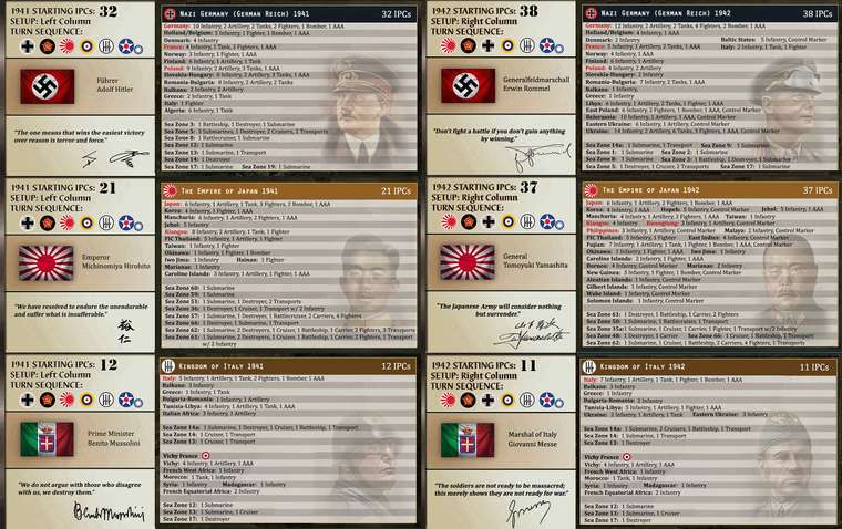
Just played the game with Anniversary action cards and it definitely add in some vibes/changes to the gameplay. Here’s a sneak of some German cards

@bigwatcher Thank you! I purchased the BBR Anniversary map and play with it exclusively. 
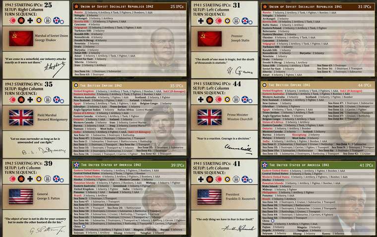
Here’s the National Objectives for this Anniversary map and the BBR victory objectives for the Axis. Enjoy!


@bigwatcher said in AA50 on Steroids!:
Thanks to Oztea’s suggestions. I had been trying out to improve the current AA50 map and setups that can play on BBR for the past months. Just printed out a copy and test-played with my buddy… so far so good, still some minor balancing to do.
I wanted something in-between Anniversary and Global40…less rules and time consuming but bigger map. Since its a game im playing with my young son, i tried my best to add in some historical battles, figures and events into the map…inspired by Lt.Dan’s BBR Global40 map.
Next I will be doing up a 1940 setup.
Definitely better than the original, in my opinion.
Since you seem fairly serious on putting some historicity into the map (and realizing that is starting from Axis&Allies…) I’ll make a review on this, and, don’t worry, I’m not going to nit-pick on good enough names (like calling the Netherlands as Holland, which is acceptable, or calling Northern France as just France, which I find acceptable too):
Of course, I realize that some of the above name-changes will require moving city names around on the map, but I think that’s fairly obvious in every case.
Moreover, if the French roundel means “Vichy-France aligned”, that is wrong for FRENCH EQUATORIAL AFRICA. If the game starts at the start of Barbarossa, Iraq should be British or British-aligned.
Also, I want to point out that, in the setup tables, you are using the country flag for every power but using the army war flag for Japan only, whereas I see that the capital of Japan is arguably correctly flagged on the board (although that looks more like the air force roundel than the national flag), but inconsistently with the flag on the tables, while all other flags are consistent between what you have for the capitals and what you have for the setup tables.
@cernel Wow!..thanks for all these infos buddy, these will definitely be of great helps when im doing the next version of my Anniversary map. For the current map, its basically the AA50 OOB map with some add-in territories from the Global 40 map, I must admit not much details are put into the placement of the territories.
@bigwatcher You’re welcomed.
However, I was pondering again my suggestion of splitting the VOLOGDA territory in two, calling them VOLOGDA and KHANTY-MANSI NATIONAL OKRUG. Unfortunately, that would not fit with how and where the Ural mountains are drawn, since the current VOLOGDA territory appears to be all west of the Urals as drawn (so it cannot comprise KHANTY-MANSIA) (By the way, the Ural mountains are rather small mountains, so they are not realistically impassable.).
So now I’m oriented to see the VOLOGDA territory as being an area spanning about from the Vologda province to the Kirov province and possibly also the Perm province: it can be still split in two vertically, calling them VOLOGDA and KIROV, or it can be left as a single territory.
Here are the new rename changes for Siberia, which do not imply redrawing any borders nor splitting any territories:
NENETSIA->KOMI A.S.S.R.
URALS->EASTERN KOMI A.S.S.R.
VOLOGDA->VOLOGDA
SAMARA->KUYBYSHEV
NOVOSIBIRSK->BASHKIR A.S.S.R.
TUNGUSKA->OMSK
EVENKI NATIONAL OKRUG->NOVOSIBIRSK
YAKUT S.S.R.->KRASNOYARSK
STANOVOY KHREBET->BURYAT-MONGOLIAN A.S.S.R.
BURYATIA->WESTERN YAKUT A.S.S.R.
SIBERIA->YAKUT A.S.S.R.
SOVIET FAR EAST->NORTHERN KHABAROVSK
AMUR->KHABAROVSK
As for territory changes:
The above is, at the end, merely a compromise to temperate the huge distortions inherent in the drawing. I believe that they make more sense than my previous suggestions if you look at the Urals as drawn, but make matters some whorse with respect to western China (Sinkiang) as drawn. If you look at China and Mongolia, the current NOVOSIBIRSK territory (which I suggest to rename to BASHKIR A.S.S.R.) would be actually eastern Kazakhstan, SAMARA would be western Kazakhstan and KAZAKH S.S.R. would be southern Kazakhstan plus Kyrgyzstan, plus Uzbekistan (or at least its Kara-Kalpakian part), plus Tajikistan.
@bigwatcher said in AA50 on Steroids!:
inspired by Lt.Dan’s BBR Global40 map.
I think it would be good if you give a link to that, so one can compare.
Anyway, I think a foremost issue in how hard is to make sense of Asian Russia is the drawing of the Urals. I don’t know if you decided to draw the Ural mountains there yourself or that comes from this other map you have referenced.
Assuming you did it, I guess that you got this “Urals” territory from Axis&Allies Europe/Global and so decided actually to show the Ural mountains themselves on the map, drawing them along the eastern border of the territory. I think that, instead, if wanting to draw the Ural mountains (which is really not necessary), you should have drawn them on the western (not eastern) border of the “Urals” territory (so, having the Ural mountains between the current “Nenetsia” and the current “Urals”).
Indeed, if you look at the original Axis&Allies Europe 1940 map, you can see that straight to the south of the “Urals” territory there is the “Novosibirsk” territory. Knowing where New Siberia is, this can only sensibly mean that the territory called “Urals” is meant to be mostly or entirely east of the Ural mountains.
@bigwatcher All right. If you would either change the location where the Ural mountains are drawn or avoid drawing them at all, I can take a look at the Sovietic Union once again and give a new set of suggested names for the various territories. I’m not sure of the names I’ve given as I believe that is very hard to collocate names with the map as it is because of the relative positions of the Ural mountains and the north-western corner of China (which is adjacent to both Mongolia and the Sovietic Union and I assume is the Altai prefecture of Sinkiang). Also the Russian railway from Moscow to Vladivostok not passing through the SAMARA territory is a limiting factor to proper naming, as the city which is nowadays known as Samara was a possible albeit not obligatory hub of it.
https://en.wikipedia.org/wiki/Trans-Siberian_Railway#/media/File:Transsib_international.svg
@bigwatcher I sent the proof waiting for you :D
@bigwatcher Hi, can I buy or download the beautifull map and: all the setup cards anywhere?:+1: :dark_sunglasses:

