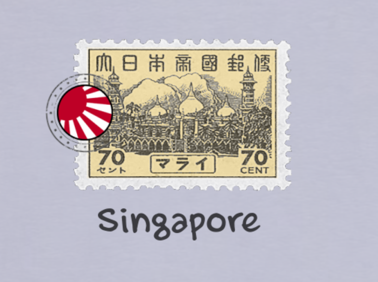
The map
So, let’s start with the map:
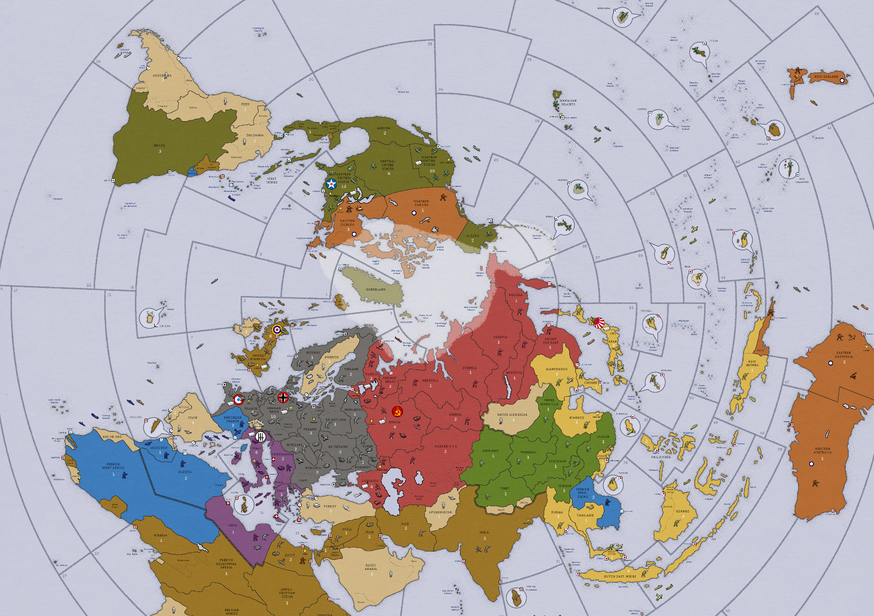
It is circular (mostly for fun - as it is for sure not the most convenient projection for an AA style game) and slightly more historically accurate than the original map, with reviewed territory borders, alternate names and some details (including lot of islands!) not used in the game. This is a personnal choice that can be challenged - but I think that I managed to keep it overall playable.
Oh yeah, and Italians turned purple because I kept confusing them with others ;)
Territories
There are a total of 125 territories (vs. 97 in AA50). These additions are a mix of historical accuracy and gameplay modifications, and most of them exist in other versions of the game.
- Europe: Denmark, Greece, Portugal, Southern France
- Asia: Iraq, Korea, Malaya, Thailand, Syria
- Africa: Morocco, Nigeria, Rio de Oro, Tanganyika, Tangier
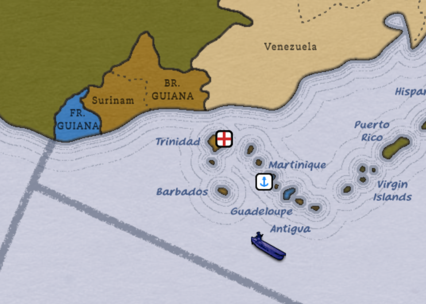
- America: French and British West Indies
- Oceania: West Australia, Papua
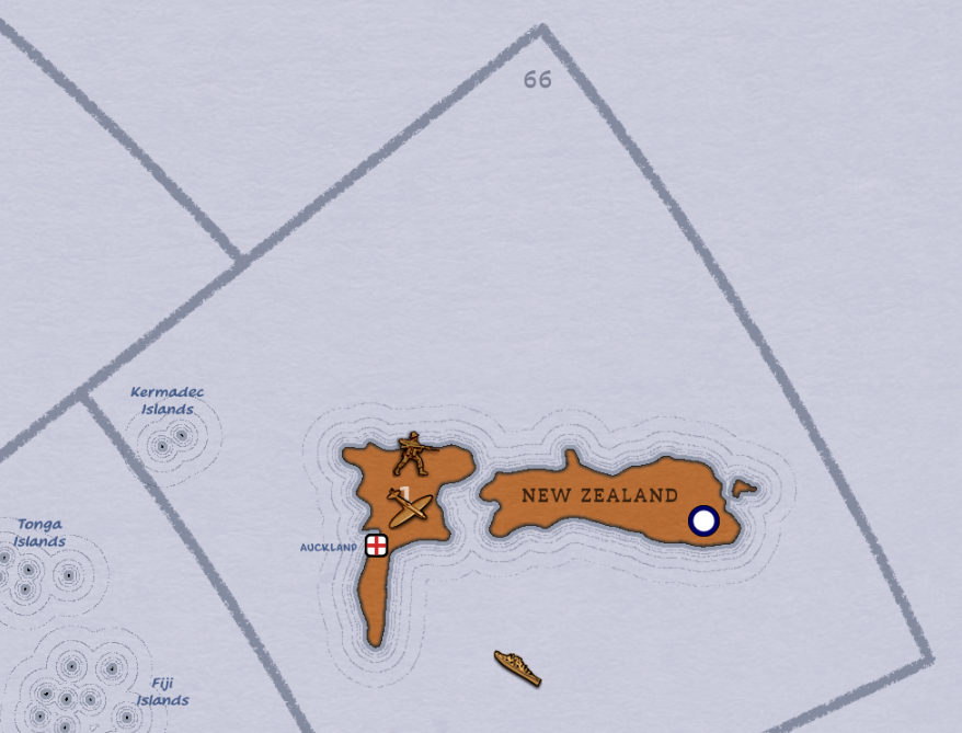
Several islands have been added as well, mostly to expand the Pacific theater of the war. I chose to standardise the nomenclature to differentiate between the short list of strategic islands (hosting naval / air bases) - the only ones considered as territories - and their archipelagos. This way, Truk Atoll replaces the OOB territory of Caroline Islands. Islands considered as territories are drawn in bubbles on the map to avoid confusion. I also removed IPC values for all islands (with the exception of Madagascar, New Zealand and Hawaii) to better represent their only strategic (vs. industrial production) role.
- Kiska (Aleutian Islands)
- Trincomalee (Ceylon)
- Hainan
- Bora Bora (French Polynesia)
- Canton (Phoenix Islands)
- Malta
- Tutuila (Samoan Islands)
- Terceira (Azores)
- New Caledonia
Sea zones
The number of them is kept (almost) unchanged (66 vs. 65), but many connections have been modified to adapt to the projection change and new territories, as well as for some chnages in the gameplay. Northern America is a bit more isolated: a ship can no longer reach Northern Africa or the British Isles from the East Coast in one round only. In the Pacific, Guadalcanal is no longer two moves away from US coast. This, again, to promote the need of islands captures.
Victory cities
Cairo (Egypt) and Singapore (Malay States) are added as victory cities, and victory conditions are changed accordingly:
- Projection of Power: 15 VCs
- Honorable Surrender: 17 VCs
- Total Victory: 20 VCs
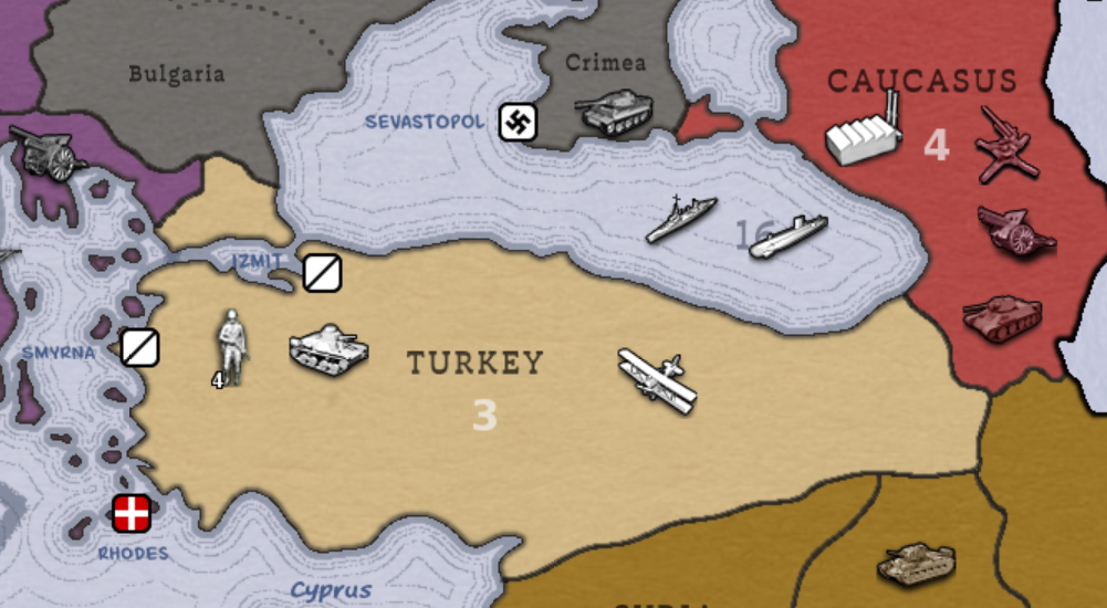
Straits
Straits have been added and work the same way canals do.
- Strait of Gibraltar, controlled by Gibraltar (and Tangier if Spain goes to war)
- Danish Straits, controlled by Danemark
- Turkish Straits, controlled by Turkey
- Strait of Malacca, controlled by Malay States
- North Channel, controlled by United Kingdom
Naval bases
Having the main naval bases of WW2 present on the map was one of the main objective of my initial project. In the game, they work as permanent infrastructures (cannot be built or destroyed) that are captured together with the territory they belong to. In order to move their regular two spaces, ships need to have a friendly naval base adjacent to their initial sea zone. Otherwise, their movement is restricted to only one space. This major rule drastically change naval warfare and makes island hopping much more important than in the original game. Additionnaly, AA gun can “scramble” from territories with a naval base (coastal artillery), making AA gun transport useful in some situations and weakening the overpower of planes.
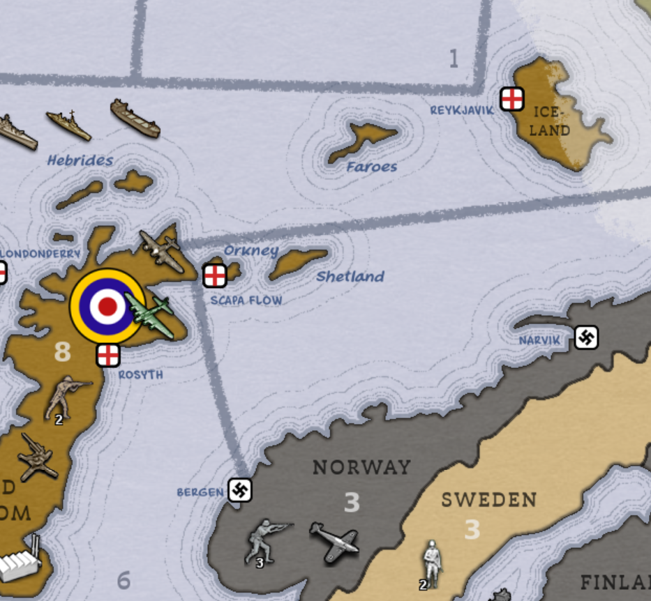
Royal Navy and Kriegsmarine bases in the North Sea.