Greetings from Michigan!
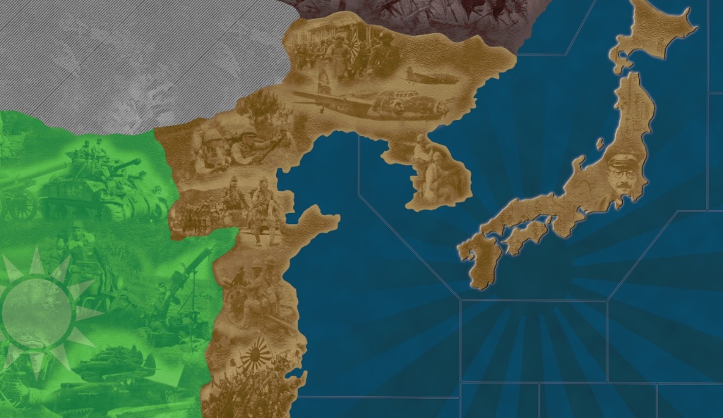
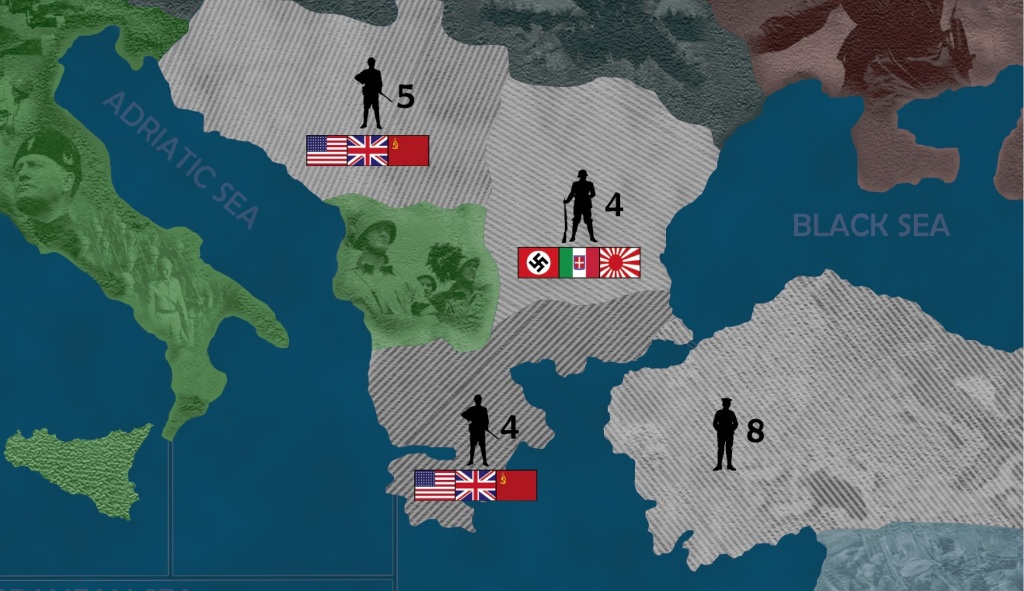
Attached are a couple snapshots of my map project. There is still a lot of work to do and it is a work in progress, but I like the way it is coming along. I’m open to criticisms, suggestions, etc… I’ll be sure to share the entire map file when it is finally completed so that others can use it too if they want. I used the original scanned map file that is available on this site for download as a base for the project. So a special thank you to those that were a part of that.
The entire map was “disassembled” province by province and reassembled. All of the imperfections of the original scan have been eliminated. Colors “pop” now where they need to. The ocean and seas have been re-done with some subtle texturing added (hard to see in the images). Many of the province shapes on the map have been corrected (to be revealed when the project is completed), especially the island provinces. I’ll provide a complete list of corrections/changes soon. It still looks a bit “flat”, but as the details and texturing get added, it will improve that. Much work still to be done - province names, borders, sea zones, details, etc. etc…
Regards,
D

