


Expanding on the amazing set of Custom National Advantages Cards that “Dagon81” created along with an “Anniversary Upgraded version”, at the:
https://www.axisandallies.org/forums/post/352353
I’ve created a few extra sets for all editions, by editing these cards in my computer. These extra cards as well as many initials, are based mainly on the Axis & Allies Revised Rulebook but also of the other editions, and include in addition to their National Advantages and Technologies. They appear in my related comment archives:
The Cards Book (pdf):
https://www.axisandallies.org/forums/post/1618056
The Extra Cards Sets (jpg):
https://www.axisandallies.org/forums/post/1618116
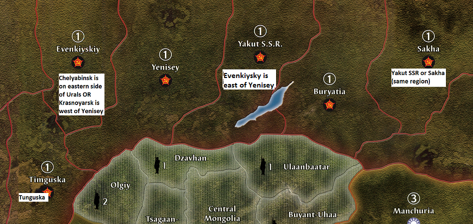
A sample of them is shown below:
AA 50 Upgrade Combo p.33.jpg
For more card sets for National Objectives and how to print, see the post below:
https://www.axisandallies.org/forums/post/1635724
